
.%20EO%20observes%20the%20status-quo%20a...)
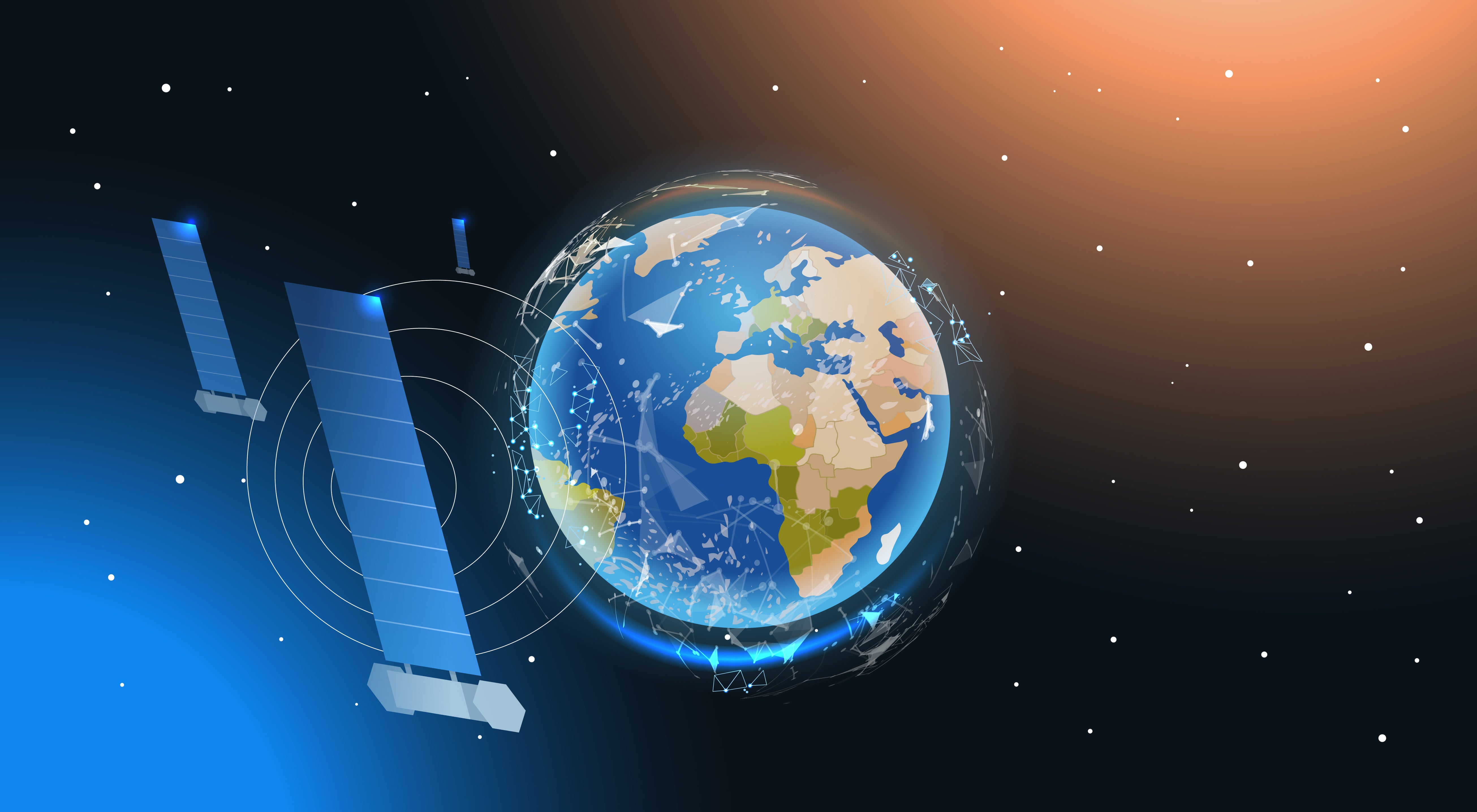
Saving ecosystems and biodiversity with the help of the Earth Observation (EO) technique
The Earth Observation technique is collecting data and information from the earth with the help of remote sensing technologies and geographic information systems (GIS). EO observes the status-quo and changes of the ecosystems and biodiversity to be able to intervene as soon as possible in order to save nature and keep it alive.

Technology – Remote Sensing Systems (RSS)
„Remote sensing is the process of detecting and monitoring the physical characteristics of an area by measuring its reflected and emitted radiation at a distance. “
Due to a large spatial coverage, it offers almost continuous availability of data. The evaluation of the data is carried out by GIS and cloud-computing and machine-learning.
Satellites
Extracting data from satellites is the most common option of remote sensing systems. There are various types of satellites, each with its own core competence, build for different applications, with differing operating systems, revisit times and spatial resolutions. Furthermore, it must be differentiated between two types of sensors: Active sensors actively transmit energy and receive information about our planet, whereas passive sensors depend on sunlight to depict the planet.

Laser
Lidar (Light Imaging, Detection and Ranging) is an active system that scans the surroundings in detail using laser pulses. LiDAR data is often obtained by plane, although it may also be gathered by satellite or drone. It can be used for a range of different problem-solving approaches, from spatial planning to forest management. To be able to get a clearer vision of the extremely detailed data, the spatial information can be transformed into digital terrain models, digital surface models, and 3D products.

Drones
Drones are meanwhile a very common technology for numerous projects in different sectors – even just for personal use or privately having fun flying the drone around permitted areas. Nevertheless, for RSS drones are the newest edition and mostly used for smaller projects. They have a camera, thermal sensors, LiDAR and often some additional personalised sensors. With the help of such drones, it is possible to access areas that could not be accessed otherwise. Moreover, specific types can measure tree heights or depict biodiversity and endangered species in a very detailed form.

Impact for land and sea
Especially when it comes to climate change, EO could be a lifesaver for our ecosystems and biodiversity. Remote sensing technologies can help to identify potential threats early enough to be able to reduce the damage as much as possible. Moreover, it can help to implement more sustainable processes and strategies to fight against climate change.
Forest
Forests are rich in biodiversity and store large amounts of carbon, as well being extremely important for local people. Large amounts of greenhouse gas emissions are the result of intensified land use and poor forest management. To get out of this dilemma, EO identifies the status-quo of forests, which for example includes the density of forest cover. Moreover, historical trends of deforestation and forest degradation can be analysed and compared to current and future data.

As just happened in Europe, especially in Italy, Turkey and Greece, forest fires are a consequence of climate change. With the help of EO, these can be better controlled from a bird's eye view and subsequent correct evaluation. As a result, forest managers can use the data to see the impact and for further fire prevention and containment. Furthermore, they can improve the forest management to avoid the destruction of forest ecosystems and local species.

Agriculture
Droughts are not only affecting vegetation, but also agriculture production, which leads to food scarcity, rising prices and threat to existence

Reasons for these incidents are, amongst others, temperature, rainfall, crop damage due to insects and management strategies. Earth Observation techniques can predict yields, improve food security in terms of droughts and crop growth irregularities and providing those responsible with a more sustainable approach to agriculture.
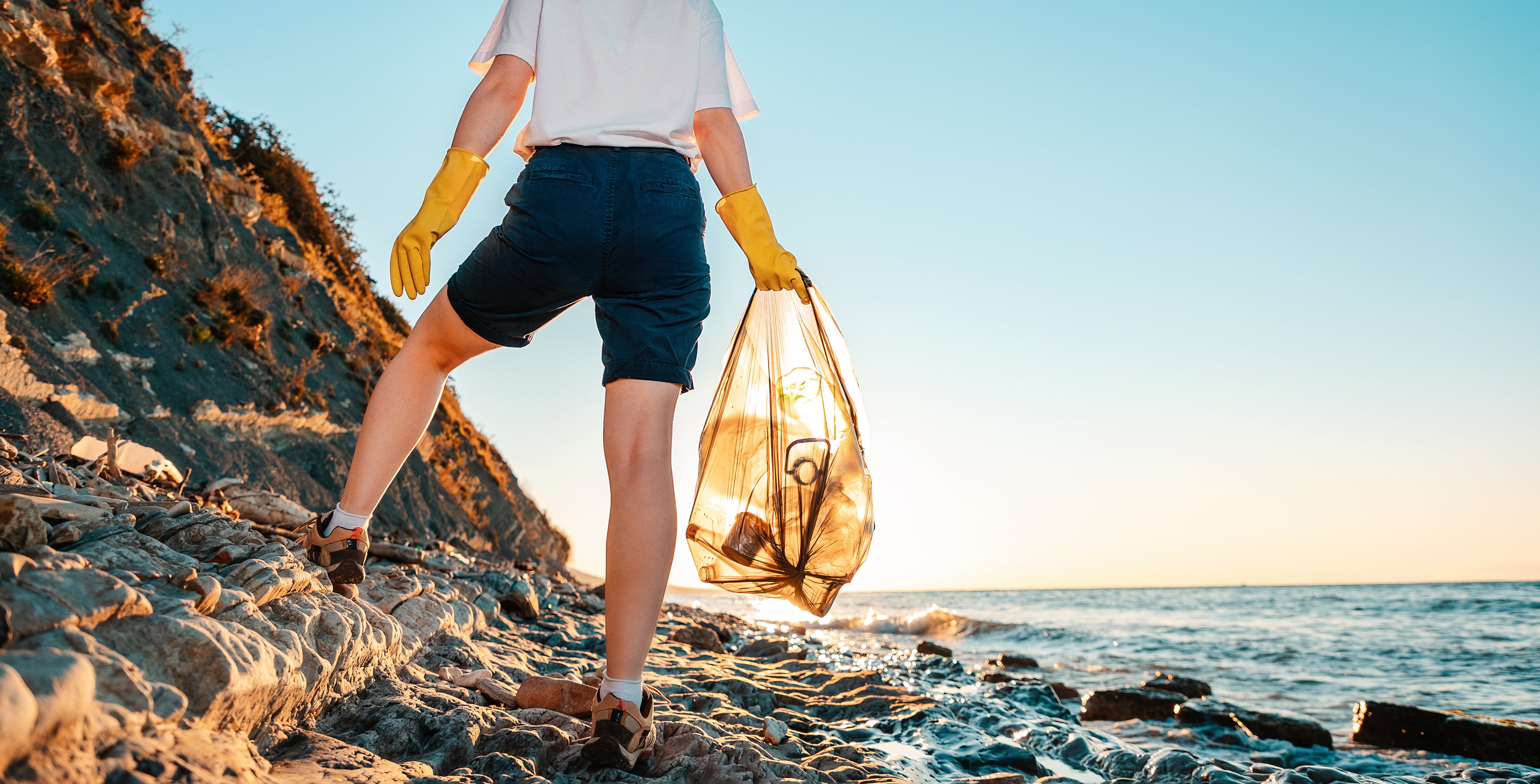
Marine life
This is a fragile ecosystem that is currently threatened by various circumstances. Apart from climate change and plastic waste in the oceans, commercial fisheries are also a major threat, especially for biodiversity and various animal species, causing a lot of unwanted by-catches. Therefore, EO contributes to monitor fishing activities and its impact by for example characterising fishing areas and do the monitoring and surveillance of fisheries, as well as implementing non-fishing areas to safe endangered species.

Furthermore, it can be used to understand biodiversity threats and help to identify biodiversity priority areas. The technique is not only used for oceans, but also for other waters, such as peatlands and wetlands.

Read more
Sustainable food and farming practices: What is the difference between Bio, Organic and Eco?
With more than 1 billion employed people and 1.3 billion worth of food annually, the agriculture industry is the biggest worldwide. Cropland covers around 50% of the Earth’s habitable land. The dow...
Read more
Leave a comment
This site is protected by hCaptcha and the hCaptcha Privacy Policy and Terms of Service apply.